– Lat/Long: 47.40° N 10.98° E
 Wetterwandeck
Weather Forecast, AustriaIssued: 7 pm Fri 18 Apr Local TimeUpdates in: hr min sUpdate imminent
Wetterwandeck Weather Forecast, Austria
Issued: 7 pm Fri 18 Apr Local Time
Updates in:
Update imminent hr min s

Issued: 7 pm Fri 18 Apr Local Time
Updates in:
Update imminent hr min s
Days 1–4 Weather SummaryLight rain (total 3mm), mostly falling on Mon afternoon. Freeze-thaw conditions (max 7°C on Sat afternoon, min 0°C on Fri night). Wind will be generally light. | Days 5–7 Weather SummaryMild at first with light rain (total 6mm) on Mon night followed by colder weather and light fall of snow, heaviest on Thu morning. Freeze-thaw conditions (max 6°C on Wed afternoon, min -2°C on Thu morning). Wind will be generally light. | ||||||||||||||||||
Saturday 19 | Sunday 20 | Monday 21 | Tuesday 22 | Wednesday 23 | Thursday 24 | ||||||||||||||
night | AM | PM | night | AM | PM | night | AM | PM | night | AM | PM | night | AM | PM | night | AM | PM | night | |
clear | clear | some clouds | some clouds | some clouds | light rain | rain shwrs | rain shwrs | light rain | light rain | cloudy | light rain | light snow | cloudy | light rain | light snow | light snow | light snow | cloudy | |
km/h | |||||||||||||||||||
 |  |  |  |  |  |  | |||||||||||||
— | — | — | — | — | — | — | — | — | — | — | — | 5 | — | — | 1.0 | 5 | 3 | — | |
— | — | — | — | — | 0.4 | 0.4 | 0.1 | 1.7 | 3 | — | 0.2 | — | — | 1.1 | 2 | — | — | — | |
max°C | 1 | 6 | 7 | 5 | 7 | 6 | 3 | 3 | 2 | 2 | 2 | 2 | 2 | 3 | 6 | 5 | -1 | 0 | -1 |
min°C | 0 | 2 | 7 | 3 | 4 | 4 | 2 | 2 | 2 | 1 | 1 | 2 | 2 | 2 | 5 | 1 | -2 | -1 | -3 |
-3 | -1 | 6 | 0 | 1 | 4 | 0 | 1 | 2 | 1 | 1 | 2 | 2 | 2 | 5 | 1 | -6 | -5 | -8 | |
2150 | 2900 | 2800 | 3150 | 3000 | 2650 | 2350 | 2450 | 2500 | 2400 | 2300 | 2450 | 2350 | 2550 | 2800 | 2550 | 1750 | 1950 | 1600 | |
Cloud base (m) | 8300 | 2800 | 6450 | 1850 | 1500 | 1750 | 850 | 850 | 850 | 850 | 850 | 1500 | 2000 | 1800 | 800 | 850 | 1550 | ||
— | 6:20 | — | — | 6:18 | — | — | 6:16 | — | — | 6:16 | — | — | 6:13 | — | — | 6:11 | — | — | |
— | — | — | 8:09 | — | — | 8:10 | — | — | 8:12 | — | — | 8:14 | — | — | 8:15 | — | — | 8:16 | |
Loading...
Wetterwandeck Weather (Days 0-3):
The weather forecast for Wetterwandeck is: Light rain (total 3mm), mostly falling on Mon afternoon. Freeze-thaw conditions (max 7°C on Sat afternoon, min 0°C on Fri night). Wind will be generally light.
Wetterwandeck Weather (Days 3-6):
Mild at first with light rain (total 6mm) on Mon night followed by colder weather and light fall of snow, heaviest on Thu morning. Freeze-thaw conditions (max 6°C on Wed afternoon, min -2°C on Thu morning). Wind will be generally light.
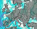
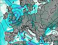
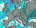
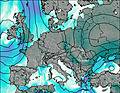
This table gives the weather forecast for Wetterwandeck at the specific elevation of 2000 m. Our advanced weather models allow us to provide distinct weather forecasts for several elevations of Wetterwandeck. To see the weather forecasts for the other elevations, use the tab navigation above the table. For a wider overview of the weather, consult the Weather Map of Austria.
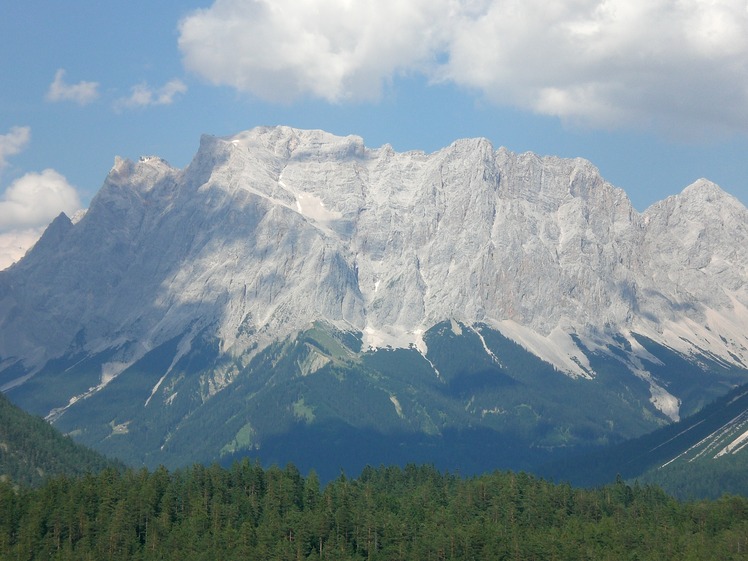
Wetterwandeck Photos
View all
Northern Limestone Alps photos (8) |
Alps photos (1456) |
photos from mountains in Austria (218) |
all photos
 Upload new photo
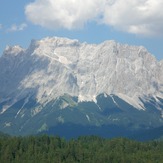
Wetterwandeck

