– Lat/Long: 54.32° N 3.30° W
 Whitfell
Weather Forecast, United KingdomIssued: 11 am Sun 14 Dec Local TimeUpdates in: hr min sUpdate imminent
Issued: 11 am Sun 14 Dec Local Time
Updates in:
Update imminent hr min s

Issued: 11 am Sun 14 Dec Local Time
Updates in:
Update imminent hr min s
Days 1–3 Weather SummaryHeavy rain (total 32mm), heaviest during Sun night. Mild temperatures (max 9°C on Sun afternoon, min 3°C on Tue morning). Winds decreasing (near gales from the SW on Sun afternoon, calm by Mon morning). | Days 4–6 Weather SummaryHeavy rain (total 48mm), heaviest during Wed night. Mild temperatures (max 7°C on Thu afternoon, min 2°C on Fri morning). Mainly severe gales. | |||||||||||||||||
Sunday 14 | Monday 15 | Tuesday 16 | Wednesday 17 | Thursday 18 | Friday 19 | |||||||||||||
AM | PM | night | AM | PM | night | AM | PM | night | AM | PM | night | AM | PM | night | AM | PM | night | |
mod. rain | mod. rain | heavy rain | cloudy | cloudy | light rain | clear | clear | some clouds | rain shwrs | mod. rain | heavy rain | mod. rain | heavy rain | light rain | some clouds | rain shwrs | rain shwrs | |
km/h | ||||||||||||||||||
 |  |  |  |  |  | |||||||||||||
— | — | — | — | — | — | — | — | — | — | — | — | — | — | — | — | — | — | |
8 | 8 | 16 | — | — | 0.7 | — | — | — | 0.3 | 7 | 18 | 7 | 12 | 3 | — | 0.2 | 0.9 | |
max°C | 8 | 9 | 9 | 6 | 5 | 4 | 4 | 4 | 3 | 4 | 5 | 6 | 5 | 7 | 7 | 3 | 3 | 3 |
min°C | 8 | 8 | 6 | 5 | 5 | 4 | 3 | 3 | 3 | 3 | 4 | 5 | 5 | 6 | 3 | 2 | 3 | 3 |
3 | 2 | 4 | 5 | 4 | 1 | 0 | 0 | 0 | -3 | -2 | 2 | 0 | 0 | -3 | -4 | -2 | -2 | |
2700 | 2950 | 2350 | 1500 | 1450 | 1300 | 1150 | 1100 | 1100 | 1300 | 1750 | 1850 | 1800 | 2000 | 1250 | 900 | 1000 | 1050 | |
Cloud base (m) | 100 | 100 | 100 | 200 | 550 | 600 | 4650 | 6150 | 650 | 300 | 150 | 100 | 50 | 150 | 5600 | 750 | 600 | |
8:26 | — | — | 8:26 | — | — | 8:27 | — | — | 8:29 | — | — | 8:30 | — | — | 8:30 | — | — | |
— | 3:48 | — | — | 3:48 | — | — | 3:48 | — | — | 3:48 | — | — | 3:48 | — | — | 3:48 | — | |
Loading...
Whitfell Weather (Days 0-3):
The weather forecast for Whitfell is: Heavy rain (total 32mm), heaviest during Sun night. Mild temperatures (max 9°C on Sun afternoon, min 3°C on Tue morning). Winds decreasing (near gales from the SW on Sun afternoon, calm by Mon morning).
Whitfell Weather (Days 3-6):
Heavy rain (total 48mm), heaviest during Wed night. Mild temperatures (max 7°C on Thu afternoon, min 2°C on Fri morning). Mainly severe gales.
This table gives the weather forecast for Whitfell at the specific elevation of 573 m. Our advanced weather models allow us to provide distinct weather forecasts for several elevations of Whitfell. To see the weather forecasts for the other elevations, use the tab navigation above the table. For a wider overview of the weather, consult the Weather Map of United Kingdom.
| Weather Station | Temp. | Weather | Wind | Gusts | Cloud / Visibility |
|---|---|---|---|---|---|
WalneyIsland | |||||
STBeesHead NO 2 | |||||
Morecambe Bay Waverider | |||||
Shap | |||||
Cleveleys Waverider |
* NOTE: not all weather observatories update at the same frequency which is the reason why some locations may show data from stations that are further away than known closer ones.
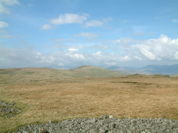
Whitfell Photos
View all
photos (710) |
Lake District photos (719) |
photos from mountains in United Kingdom (2078) |
all photos
 Upload new photo
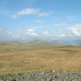
Whitfell