Castlecrag Mountain guide
- Elevation: 1765 m
- Difficulty:
- Best months to climb:
- Convenient center:
Castlecrag Mountain Climbing Notes
Devin Craig from CANADA writes:
Grade B2, moderately strenuous with a little scrambling. Castlecrag has two main options to get to it. From Circlet Lake:
1. Walk back away from Circlet Lake and hike around Moat Lake. Wrap left around the mountain and ending with a 200 foot scramble to the summit
2. Hike up the shoulder of Mount Albert Edward, hike off the shoulder onto Mt. Frink and follow the cairns onto Castlecrag.
Note: You can do a loop trail either direction. Loop from Circlet Lake around within 6-9 hours back to Circlet Lake.
2011-06-29 |
Click here to submit your own climbing note for Castlecrag Mountain
|

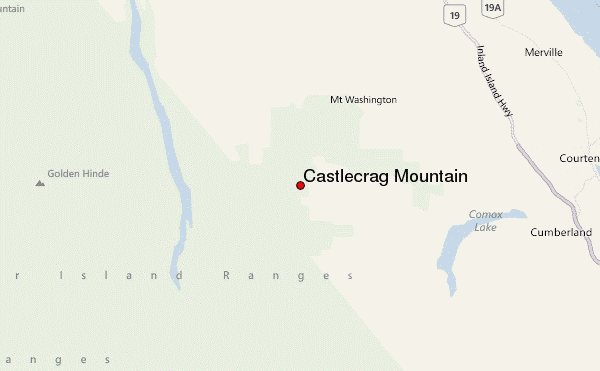
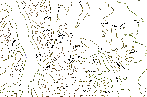
Select Castlecrag Mountain Location Map Detail:
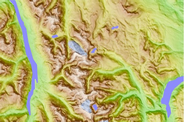
Use this relief map to navigate to mountain peaks in the area of Castlecrag Mountain.
10 other mountain peaks closest to Castlecrag Mountain:


 Like us
 Follow us
 Follow us