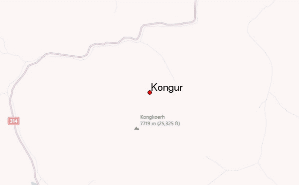
– Lat/Long: 38.67° N 75.35° E
 Kongur – Climbing, Hiking & Mountaineering information
Kongur – Climbing, Hiking & Mountaineering information
Kongur guide
- Elevation: 7719 m
- Difficulty: Major Mountain Expedition
- Best months to climb: June, July, August, September
- Convenient center: Kashi, China
Kongur Climbing NotesBe the first to submit your climbing note! Please submit any useful information about climbing Kongur that may be useful to other climbers. Consider things such as access and accommodation at the base of Kongur, as well as the logistics of climbing to the summit. |
| Select a
mountain summit from the menu |
||
|
Select a Mountain Summit
|
||
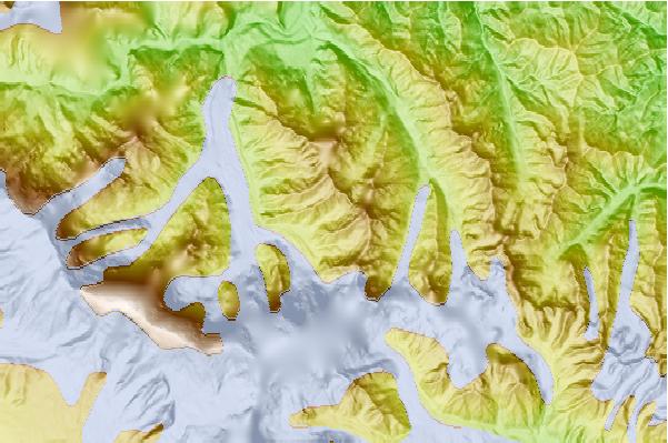
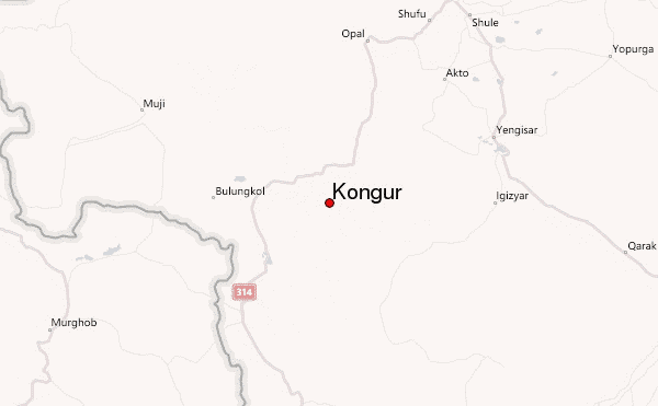
Use this relief map to navigate to mountain peaks in the area of Kongur.
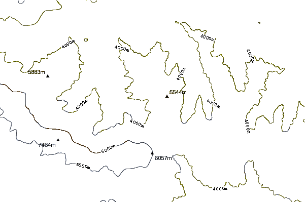
10 other mountain peaks closest to Kongur:
| 1. | Chakragil (or Chagragil, Chakar Aghil, Kingata Tagh) (6760 m) | 30.5 km |
| 2. | Muztagh Ata (7546 m) | 47.3 km |
| 3. | Gora Kurumdy (6614 m) | 177.0 km |
| 4. | Concord Peak (5469 m) | 203.3 km |
| 5. | Myra I (4950 m) | 220.3 km |
| 6. | Peak of the 19th Party Conference (5882 m) | 221.0 km |
| 7. | Pik Lenin (7134 m) | 223.1 km |
| 8. | Pik Marshal Zhukov (6842 m) | 225.3 km |
| 9. | Ibn Sina Peak (7134 m) | 226.7 km |
| 10. | Kholodnaja Stena (5947 m) | 243.0 km |

