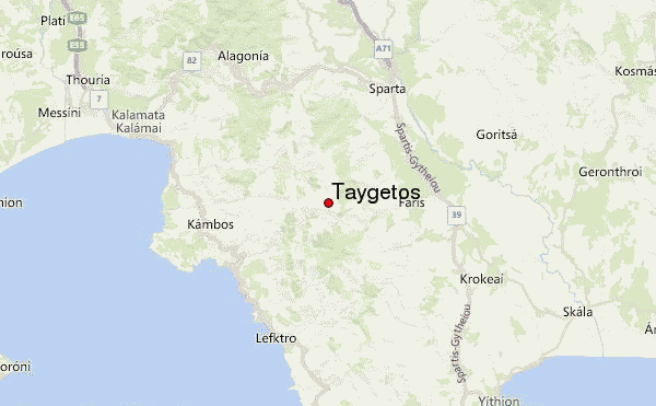
– Lat/Long: 36.96° N 22.35° E

GrTaygetos – Climbing, Hiking & Mountaineering information

Placeholder

Taygetos mountain guide

Taygetos Mountain  photo

Taygetos

Photo credit: Stavros Psirropoulos

Taygetos photo

Taygetos

Photo credit: Costas Makalu

Αρσενικο βουνο, Taygetos photo

Taygetos

Photo credit: Costas Makalu

  • Elevation: 2407 m
  • Difficulty: Walk up
  • Best months to climb: April, May, September, October
  • Convenient center: Sparta

Taygetos Climbing Notes

Stavros from GREECE writes:

Taygetos mountain can be approached from the east side where the city of Kalamata is.

You approach the forest of Vasiliki and the after a 3 hours hike to a spectacular ridge your arrive at the top. Otherwise from the west face you can go until a mountaineering refuge and then make a 2:30 hours hike until the summit.

2013-11-22

Click here to read 2 more climbing notes for Taygetos or submit your own

Taygetos Location Map

Select Taygetos Location Map Detail:


Latest Gallery Images for Taygetos

visit the
gallery
or click to view
Virgin slopessunrice at the summit!!road to chalasmenoTurning from the top

Upload your photo of Taygetos

Select a mountain summit from the menu
Select a Mountain Summit
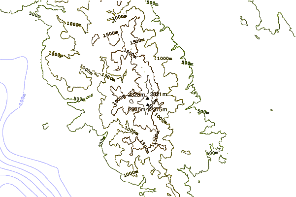
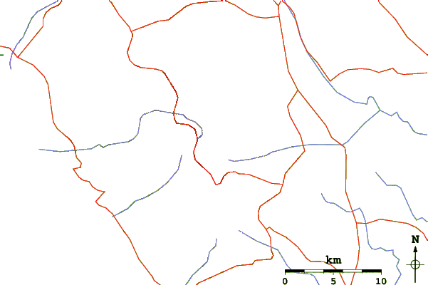
Surf breaks located close to Taygetos Mountain peaks around Taygetos Roads and rivers around Taygetos

Use this relief map to navigate to mountain peaks in the area of Taygetos.

10 other mountain peaks closest to Taygetos:

1. Tsemperou (1254 m) 44.1 km
2. Ithome (800 m) 45.4 km
3. Othry (1726 m) 54.9 km
4. Minthi (1345 m) 71.5 km
5. Mainalo (1986 m) 79.2 km
6. Oligyrtos (1935 m) 89.4 km
7. Mount Kyllini (2374 m) 109.4 km
8. Erimanthos (2224 m) 114.0 km
9. Aroania (mountain) (2341 m) 114.8 km
10. Erymanthos (2224 m) 114.9 km