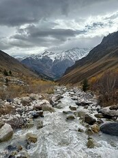
Terskol guide
- Elevation: 3900 m
- Difficulty: Scramble
- Best months to climb: June, July, August, September
- Convenient center: Terskol
Terskol Climbing Notes
Alex from RUSSIAN FEDERATION writes:
I think it's possible, but depends on weather which is beginning worse this time. The latest month I reached summit was first part of September. But my friends did it even in winter.
For Russian citizens admit is free (according to the law) in spite of local authorities who try to get money almost every year until the first letter from Moscow prosecutor's office.
As for foreign citizens, I don't have any information. But at least it existed in 2006.
That's all I know. Good Luck on Elbrus - it's gorgeous place! :-)
2014-02-26 |
Click here to read 1 more climbing note for Terskol or submit your own
|

Select Terskol Location Map Detail:
Use this relief map to navigate to mountain peaks in the area of Terskol.
10 other mountain peaks closest to Terskol:


 Like us
 Follow us
 Follow us