– Lat/Long: 55.48° N 2.13° W
 The Cheviot
Weather Forecast, United KingdomIssued: 6 pm Sun 11 May Local TimeUpdates in: hr min sUpdate imminent
Issued: 6 pm Sun 11 May Local Time
Updates in:
Update imminent hr min s

Issued: 6 pm Sun 11 May Local Time
Updates in:
Update imminent hr min s
Days 1–4 Weather SummaryMostly dry. Very mild (max 13°C on Mon morning, min 8°C on Sun night). Wind will be generally light. | Days 5–7 Weather SummaryMostly dry. Very mild (max 11°C on Fri afternoon, min 5°C on Wed night). Winds decreasing (fresh winds from the N on Thu morning, light winds from the NE by Thu night). | ||||||||||||||||
Sun 11 | Monday 12 | Tuesday 13 | Wednesday 14 | Thursday 15 | Friday 16 | ||||||||||||
PM | night | AM | PM | night | AM | PM | night | AM | PM | night | AM | PM | night | AM | PM | night | |
some clouds | clear | clear | clear | clear | clear | some clouds | some clouds | clear | clear | clear | clear | clear | clear | clear | clear | clear | |
km/h | |||||||||||||||||
 |  |  |  |  |  | ||||||||||||
— | — | — | — | — | — | — | — | — | — | — | — | — | — | — | — | — | |
— | — | — | — | — | — | — | — | — | — | — | — | — | — | — | — | — | |
max°C | 11 | 9 | 13 | 13 | 9 | 12 | 13 | 10 | 10 | 10 | 7 | 9 | 10 | 7 | 10 | 11 | 8 |
min°C | 10 | 8 | 12 | 12 | 8 | 11 | 12 | 9 | 10 | 8 | 5 | 9 | 9 | 7 | 8 | 10 | 6 |
8 | 5 | 9 | 10 | 6 | 9 | 11 | 8 | 8 | 5 | 1 | 5 | 6 | 4 | 6 | 8 | 3 | |
2500 | 2450 | 2550 | 2700 | 2700 | 2700 | 2850 | 2800 | 2750 | 2850 | 2900 | 3250 | 3300 | 3400 | 3250 | 3250 | 3100 | |
Cloud base (m) | 1800 | 2300 | 9050 | 8850 | 9450 | 8750 | 250 | 250 | 9250 | ||||||||
— | — | 5:05 | — | — | 5:03 | — | — | 5:01 | — | — | 4:58 | — | — | 4:56 | — | — | |
9:04 | — | — | 9:05 | — | — | 9:07 | — | — | 9:08 | — | — | 9:10 | — | — | 9:13 | — | |
Loading...
The Cheviot Weather (Days 0-3):
The weather forecast for The Cheviot is: Mostly dry. Very mild (max 13°C on Mon morning, min 8°C on Sun night). Wind will be generally light.
The Cheviot Weather (Days 3-6):
Mostly dry. Very mild (max 11°C on Fri afternoon, min 5°C on Wed night). Winds decreasing (fresh winds from the N on Thu morning, light winds from the NE by Thu night).
This table gives the weather forecast for The Cheviot at the specific elevation of 815 m. Our advanced weather models allow us to provide distinct weather forecasts for several elevations of The Cheviot. To see the weather forecasts for the other elevations, use the tab navigation above the table. For a wider overview of the weather, consult the Weather Map of United Kingdom.
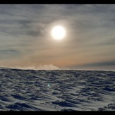
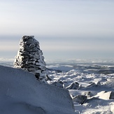
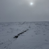
The Cheviot Photos
View all
Cheviot Hills photos (11) |
Other ranges of England photos (39) |
photos from mountains in United Kingdom (1967) |
all photos
 Upload new photo
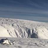

 See 11 more The Cheviot photos
Bizzle Cragg up on to West Hill
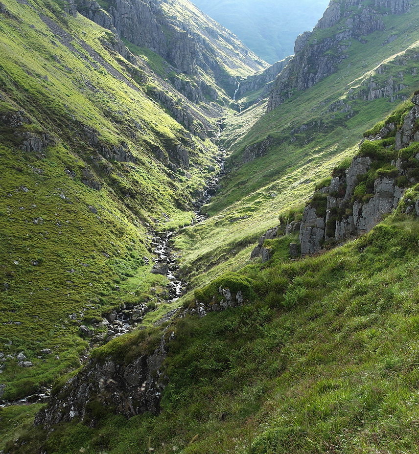
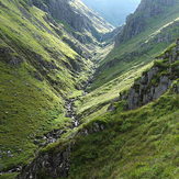
Hen Hole,The Cheviot.
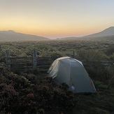
Dawn on the Hills
Bizzle Cragg up on to West Hill
Bizzle Cragg up on to West Hill
Bizzle Cragg up on to West Hill
Cheviot Summit